Akagera National Park may be small by african standards, and it has often been labeled as ‘not the Serengeti’ due to its size and absence of massive wildlife concentrations—something rare outside of the actual Serengeti or Boma-Badingilo in South Sudan. However, Akagera is home to rich biodiversity, including several unique species, and it preserves Rwanda’s last remaining diverse savanna ecosystems. The park is renowned for its remarkable variety of landscapes, offering visitors a stunning mix of hills, plains, lakes, and an extensive wetland system. This diversity reveals itself over time, rewarding those who take the time to explore it, whether during a single multi-day visit or better, across different seasons. The shapes of the hills, the shifting colors of the landscape, the expansive skies, and the changing vegetation provide endless beauty for visitors who choose to make Akagera a destination of countless days.
The park’s diversity and beauty stand as a powerful testament to the importance of conserving landscapes. These, here and elsewhere, serves as ancient, millennia-old evidence of our shared history and provides one of the last opportunities to understand the long environmental history of our planet.
Here is an aerial glimpse, with images taken over the years.
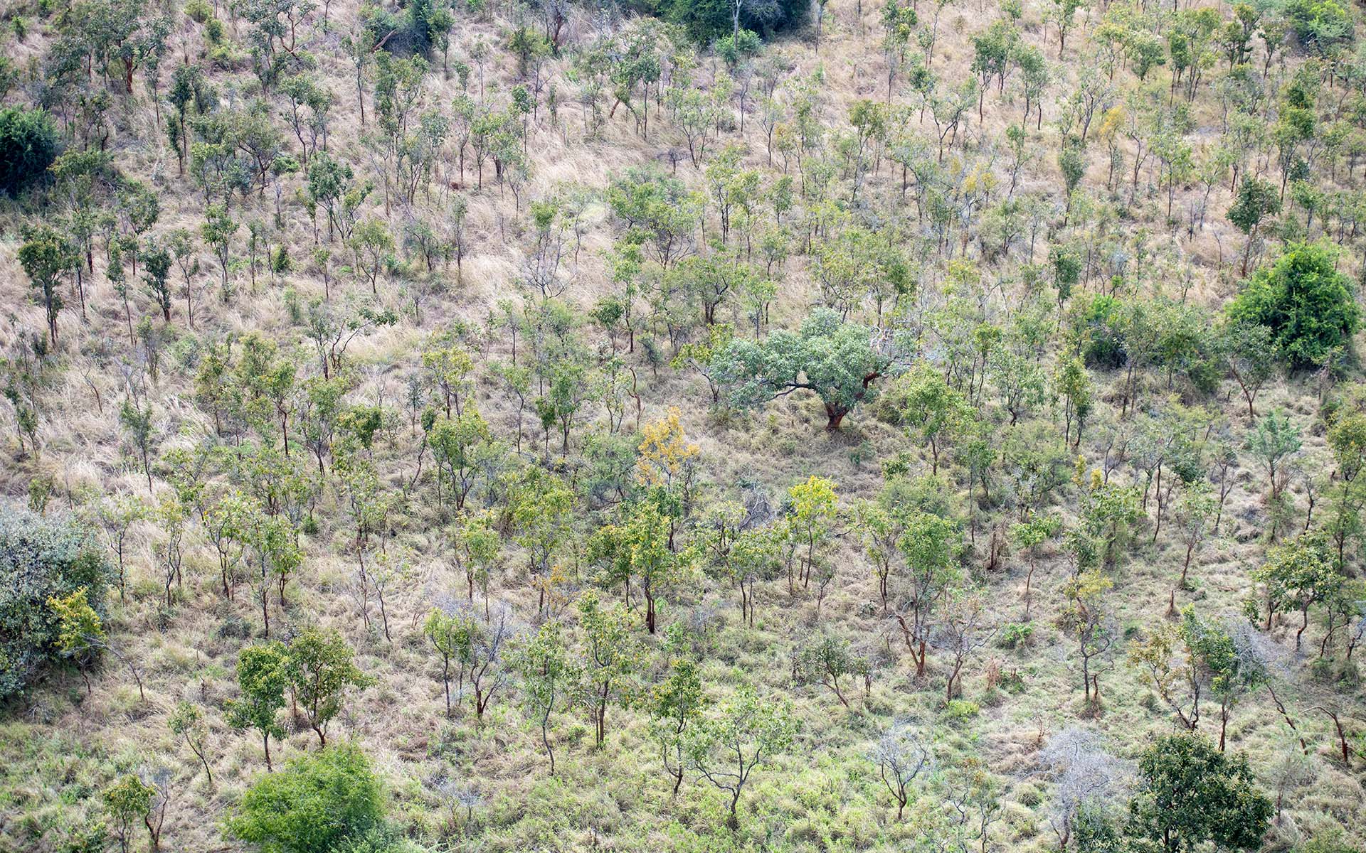
Combretum savanna, on the foothills of the southern part of the park.
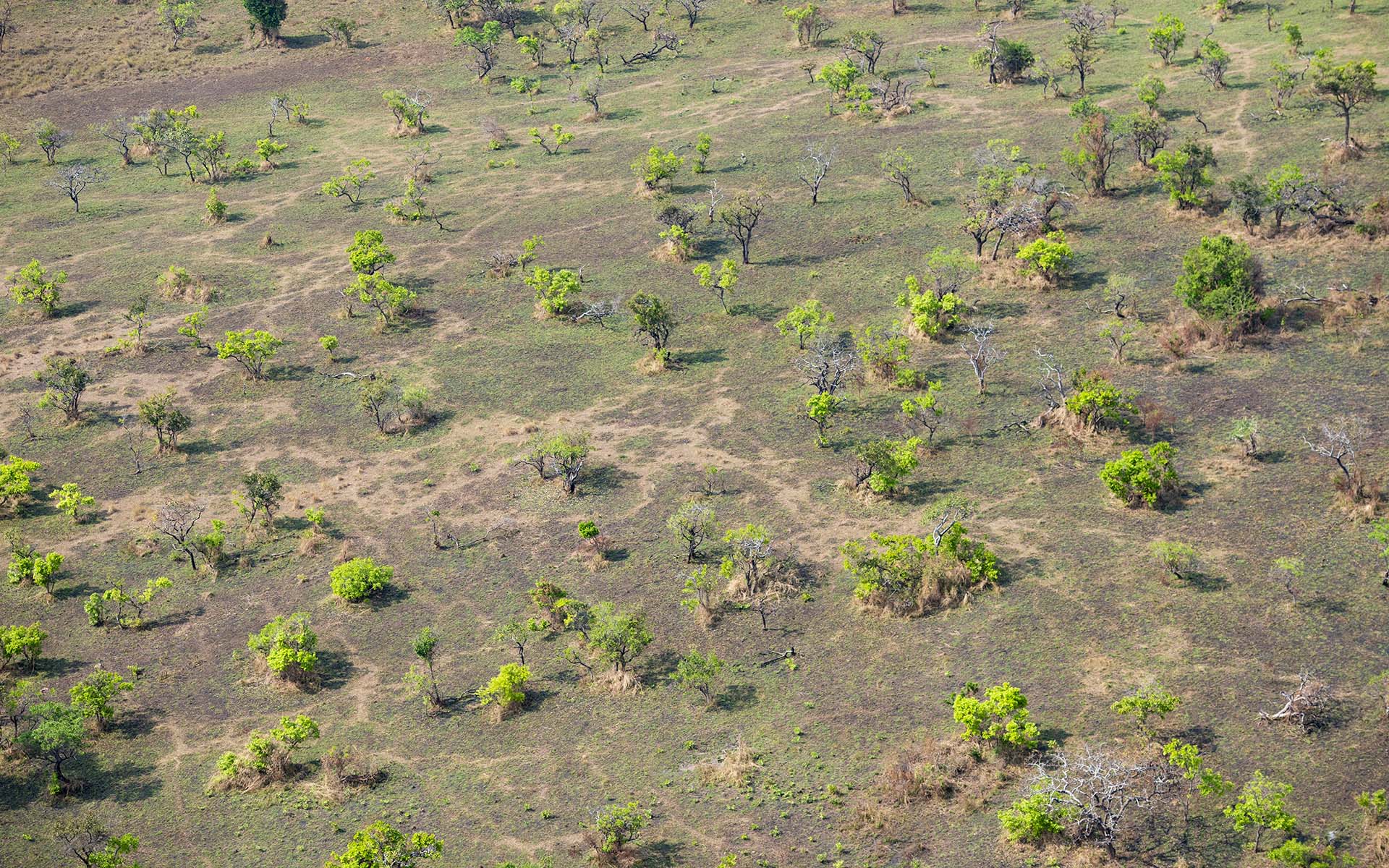
Sparse Combretum savanna on the Kageyo Peninsula, at the end of dry season.
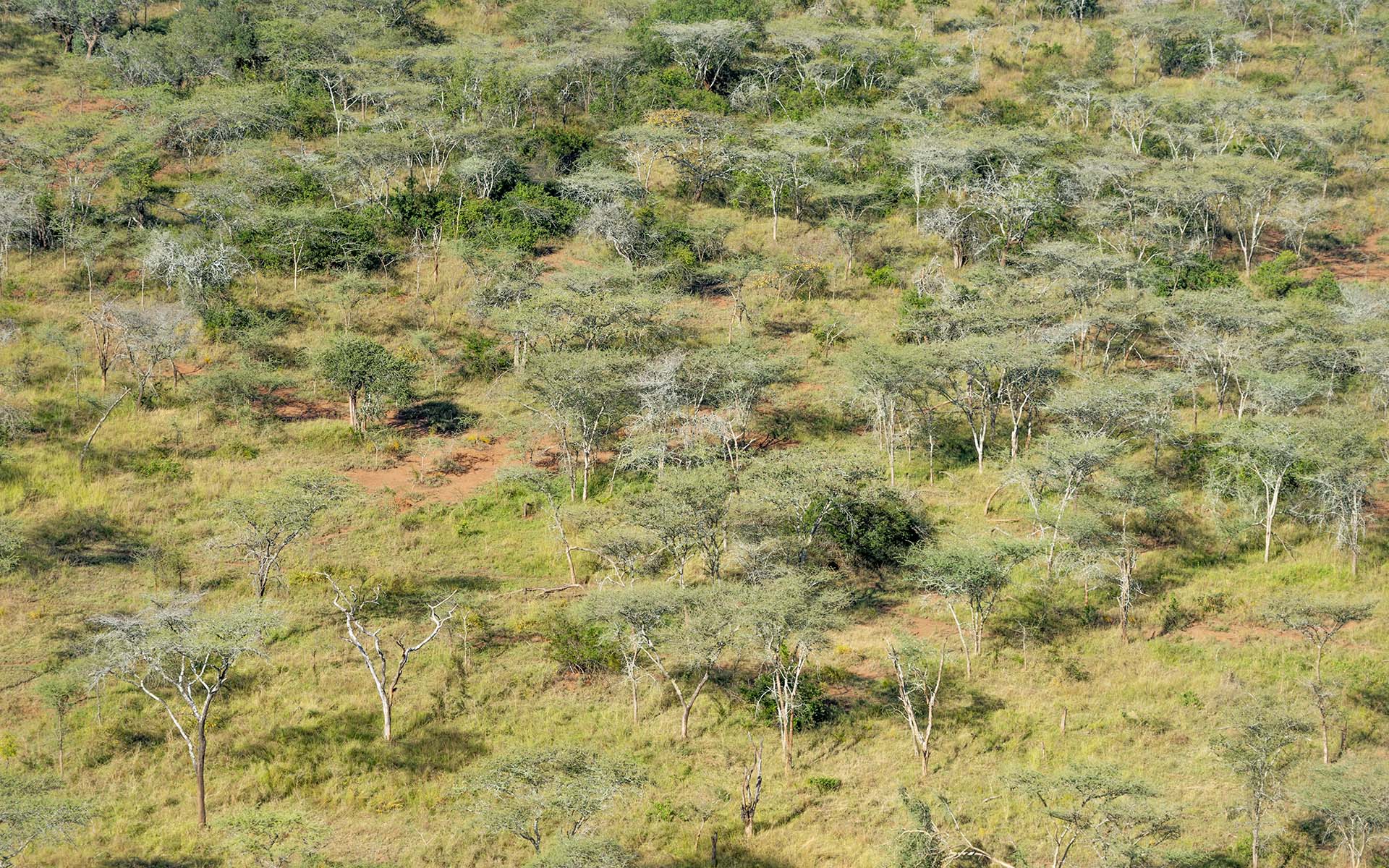
Senegalia senegal dominant savanna, in the north of the park.
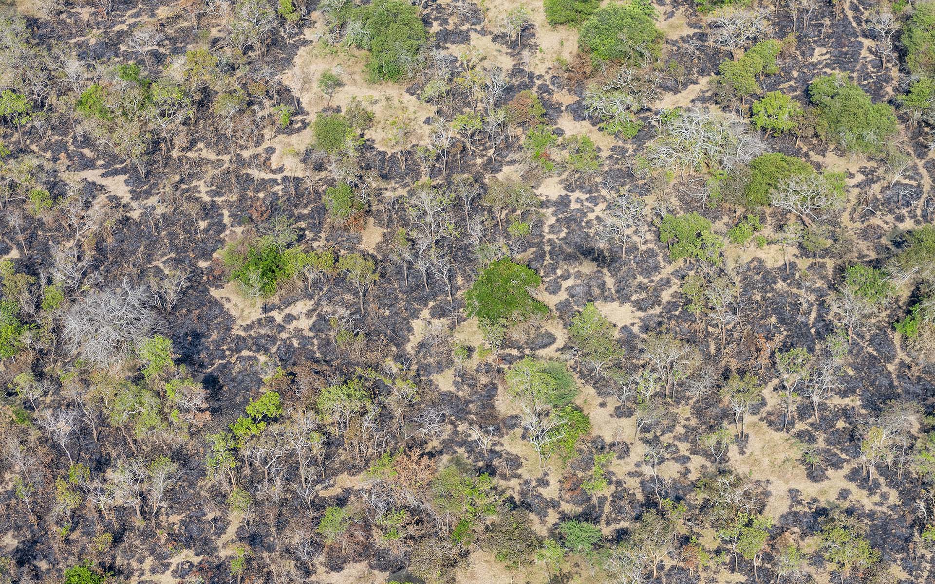
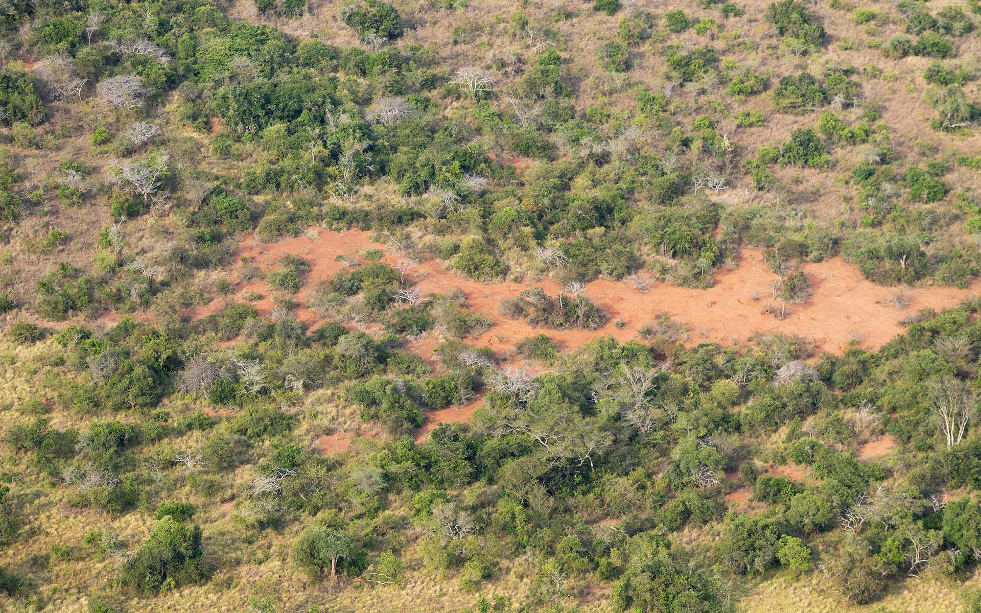
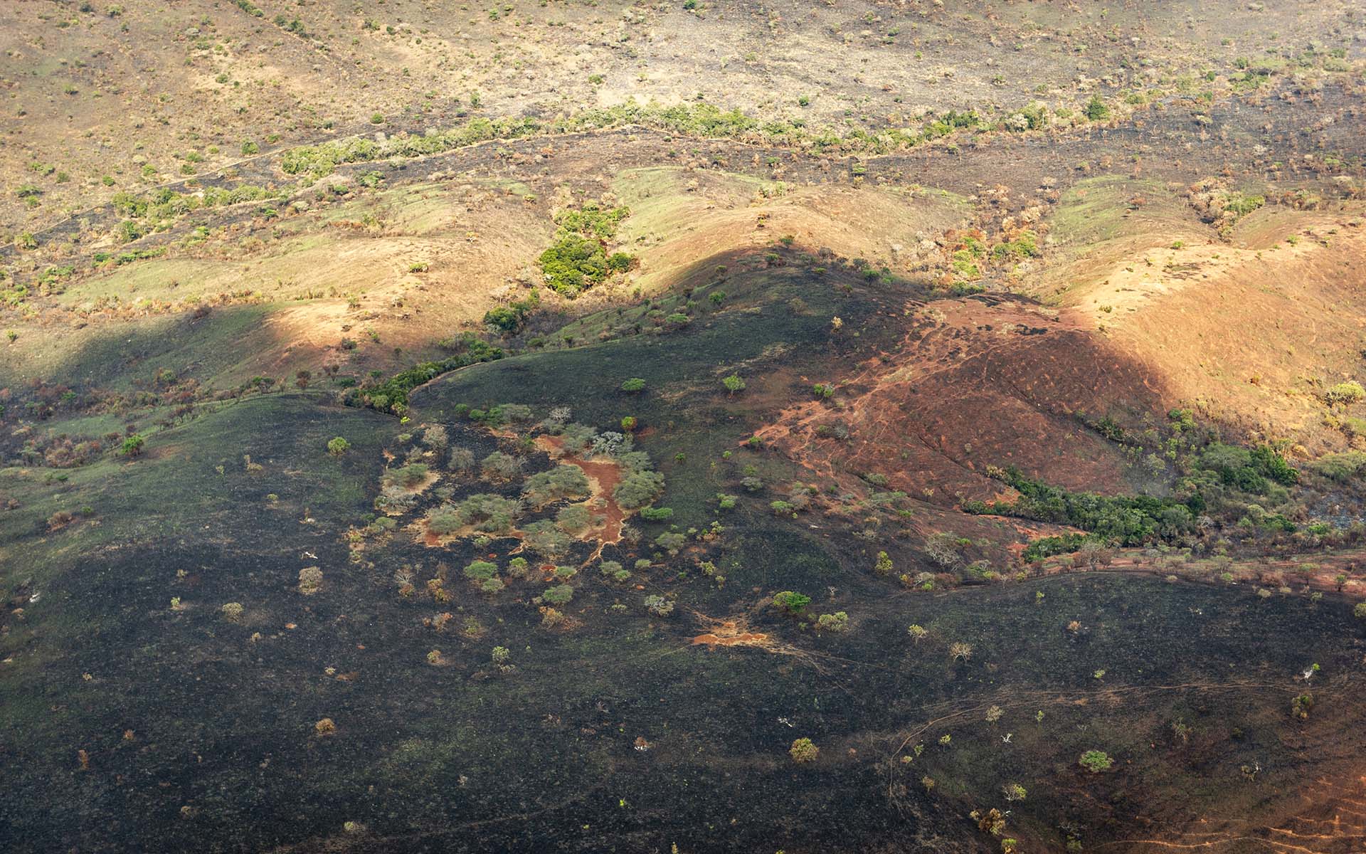
Mosaic of burnt and savannas, at the end of dry season.
The southern wooded part, on Rurama Peninsula, at the end of rains.
Gishanju peninsula, with view of the Kitabiri hills in the back.
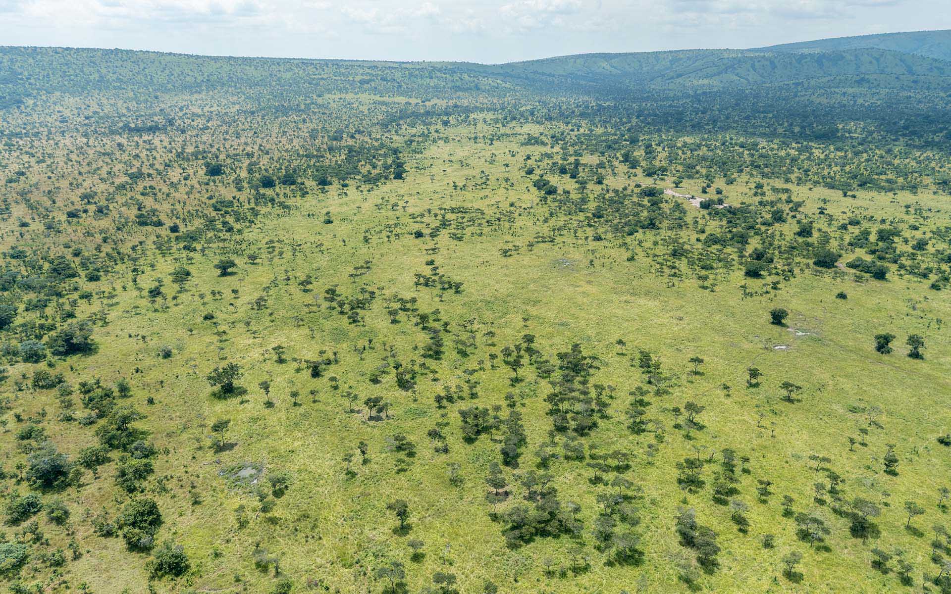
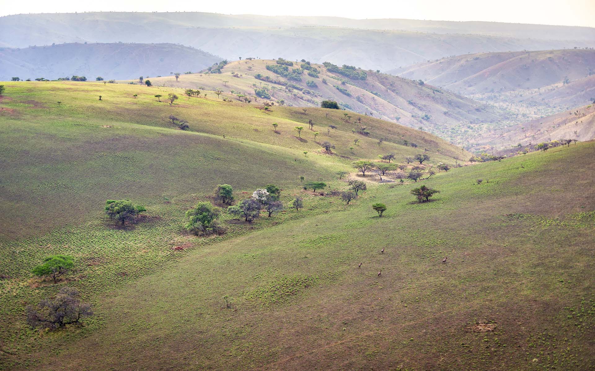
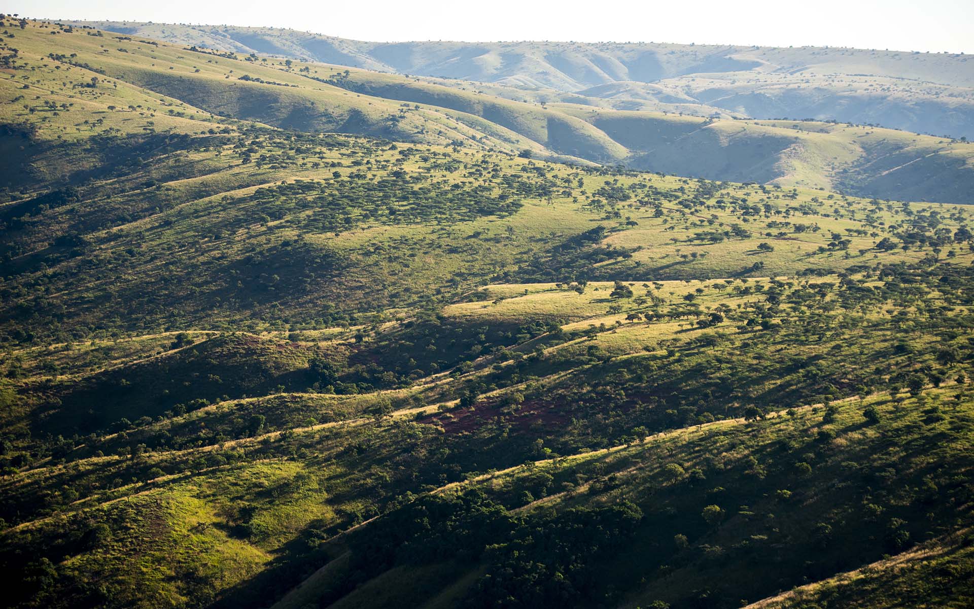
The Muhororo hills with Kirara plains in the background.
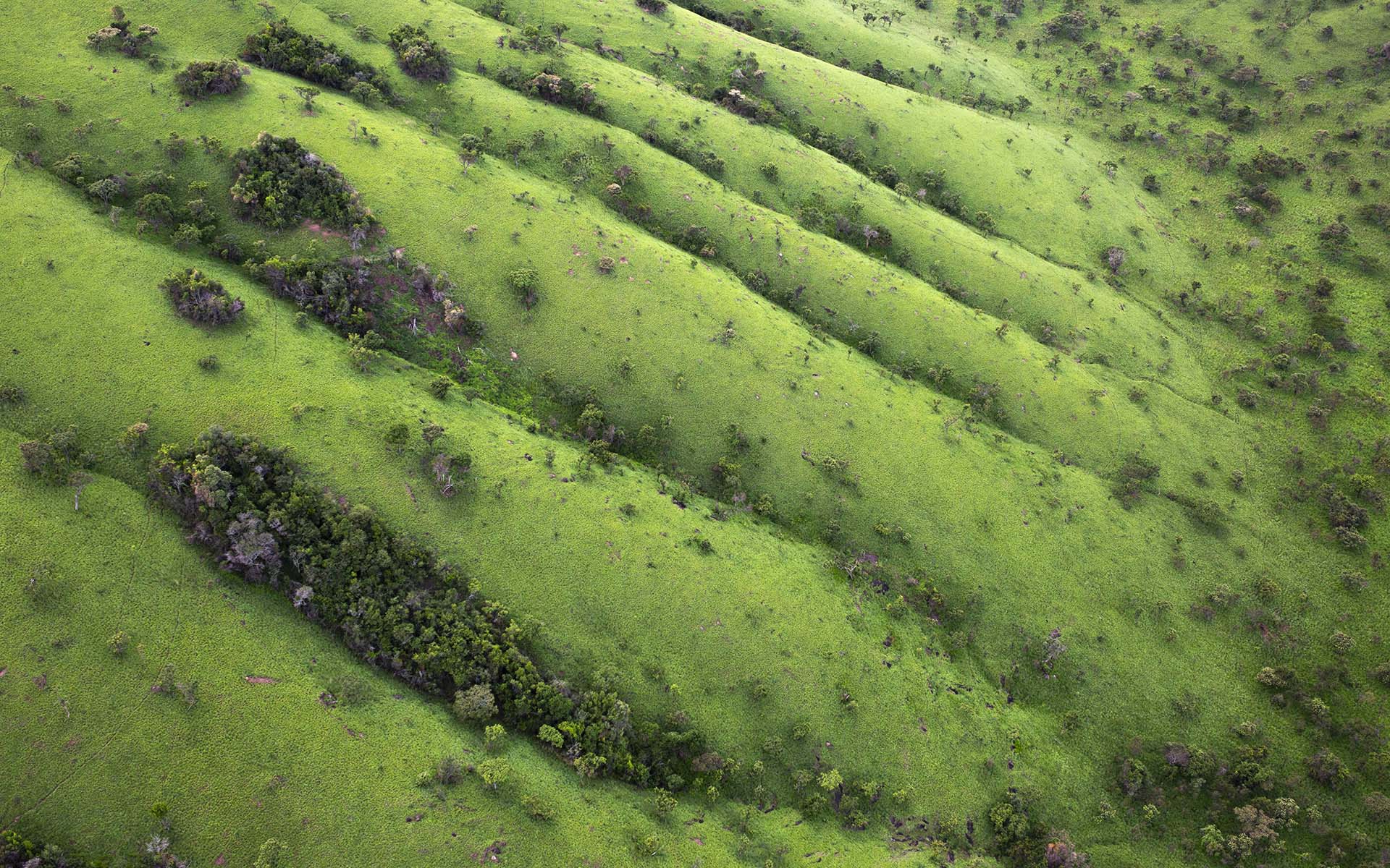
Grasslands on the Kandalo hills.
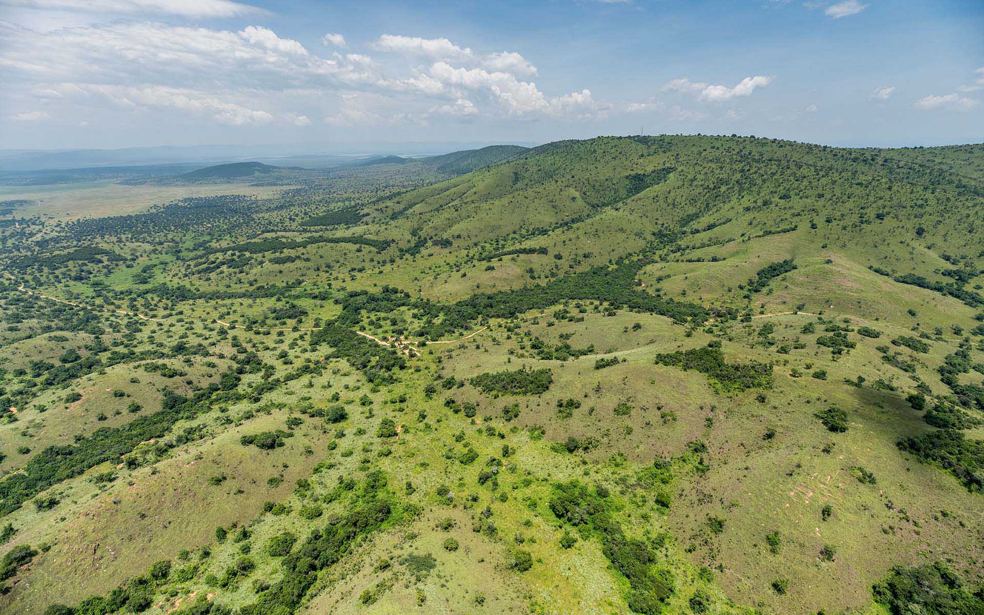
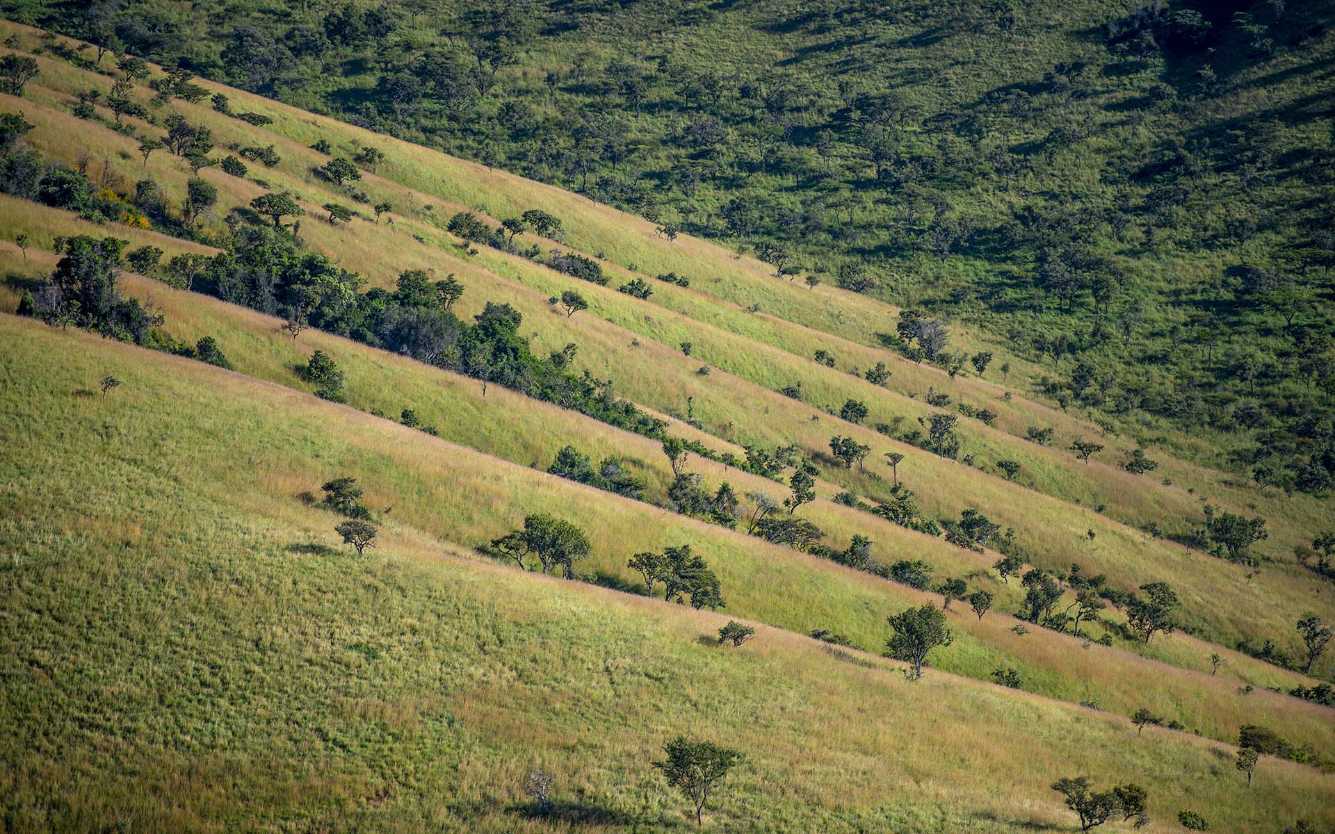
The eastern slopes of the Munkerenke hills.
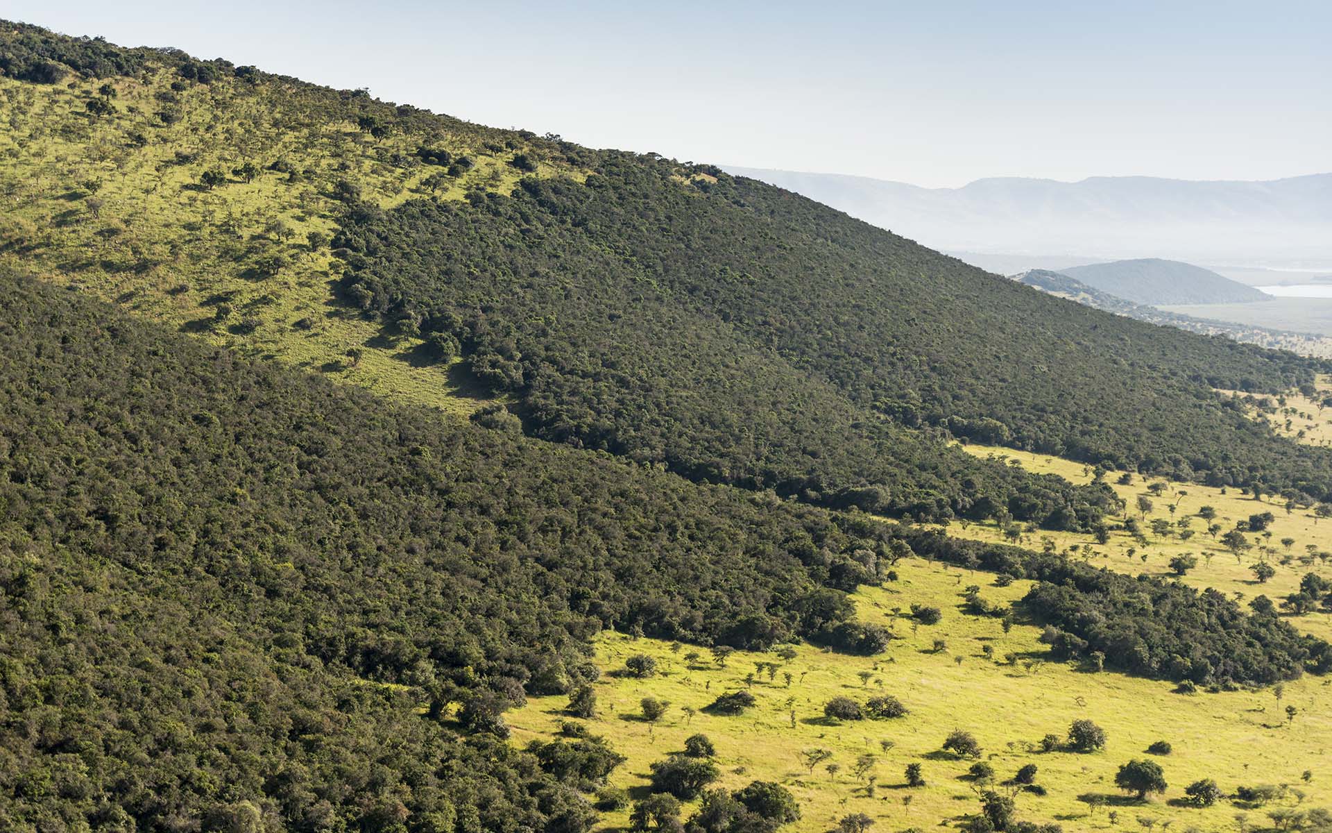
The steep slopes of the eastern Muhororo
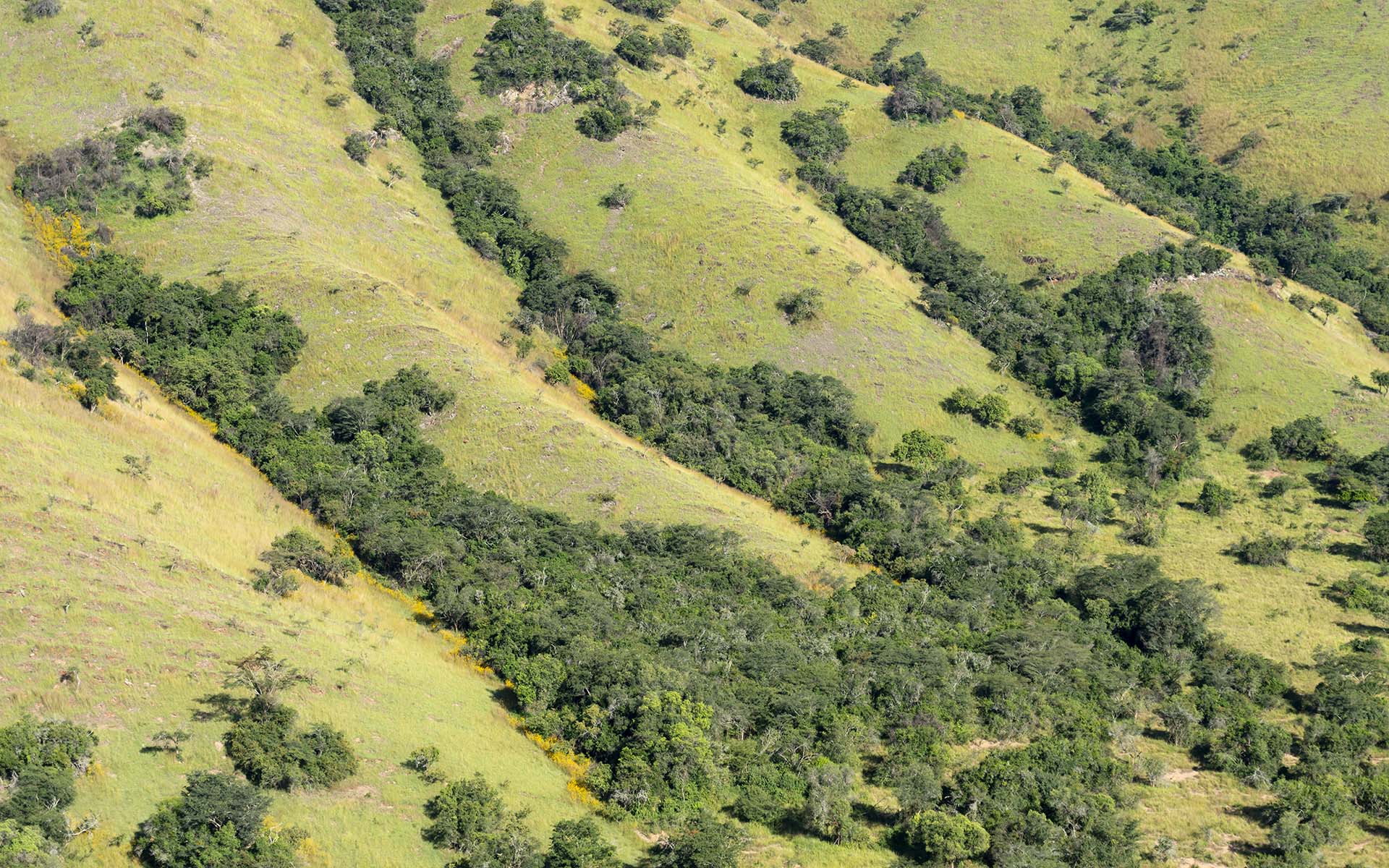
Dry forests on the Muhororo slopes.
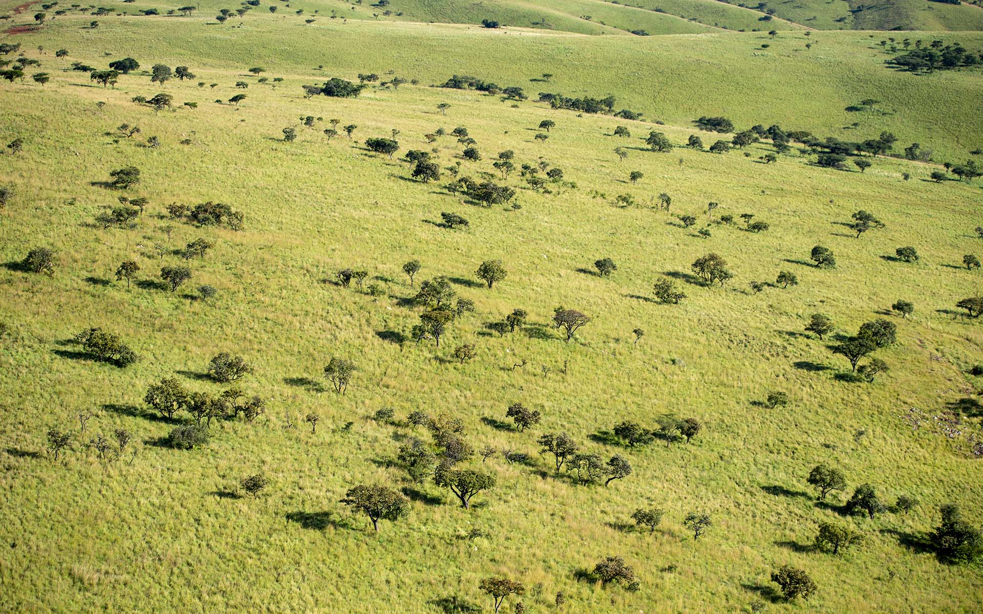
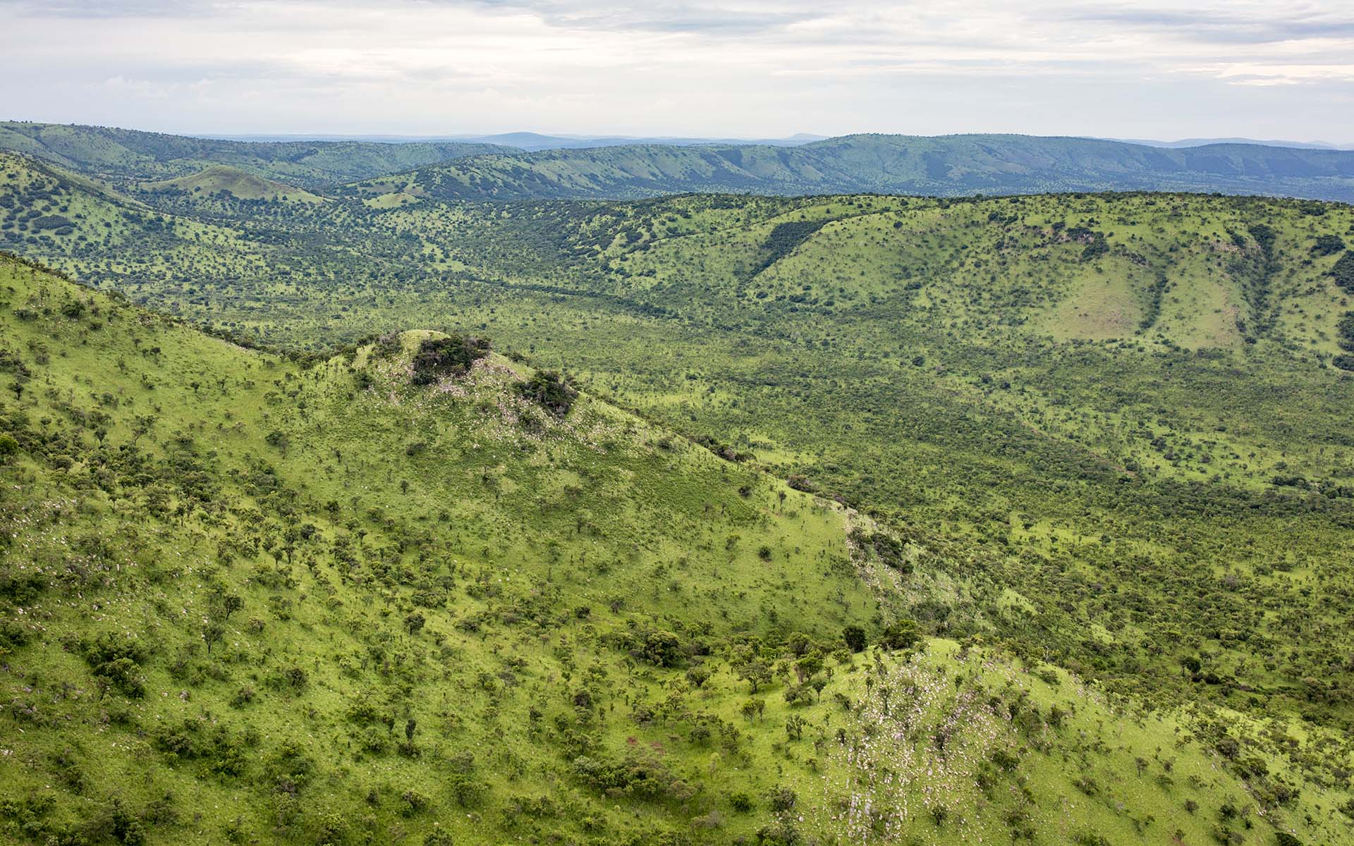
The slow rolling slopes of the Mutumba summit.
The slow rolling slopes of the Mutumba summit.
Patches of burnt savannas on the western Nyamabuye
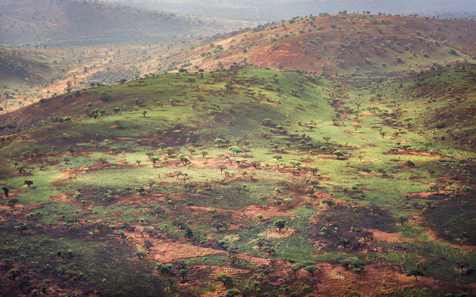
The onset of savanna regrowth on the hills.
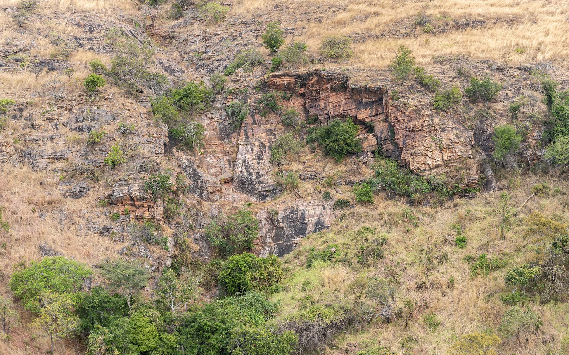
Rocky outcrops on the slopes of Muyumbu
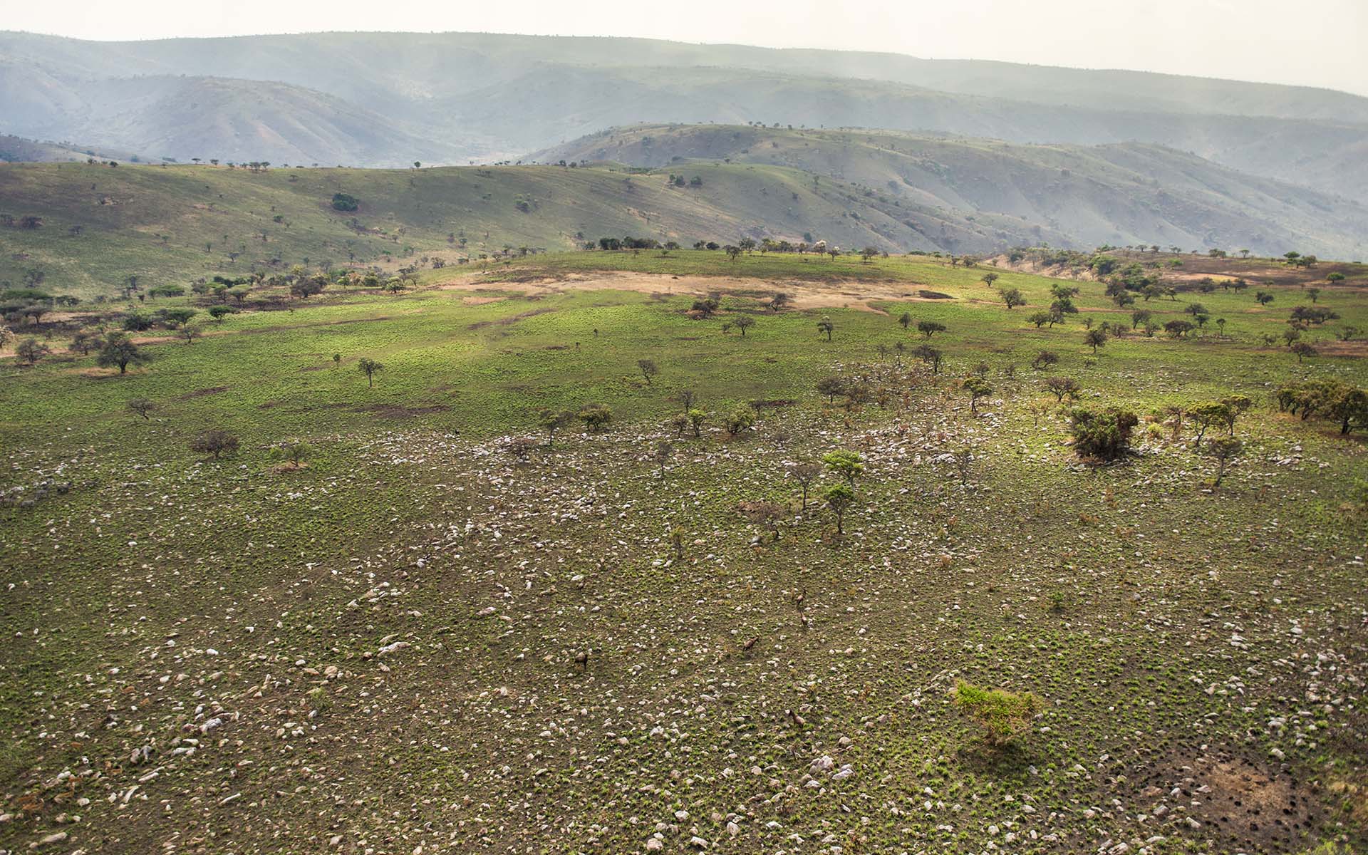
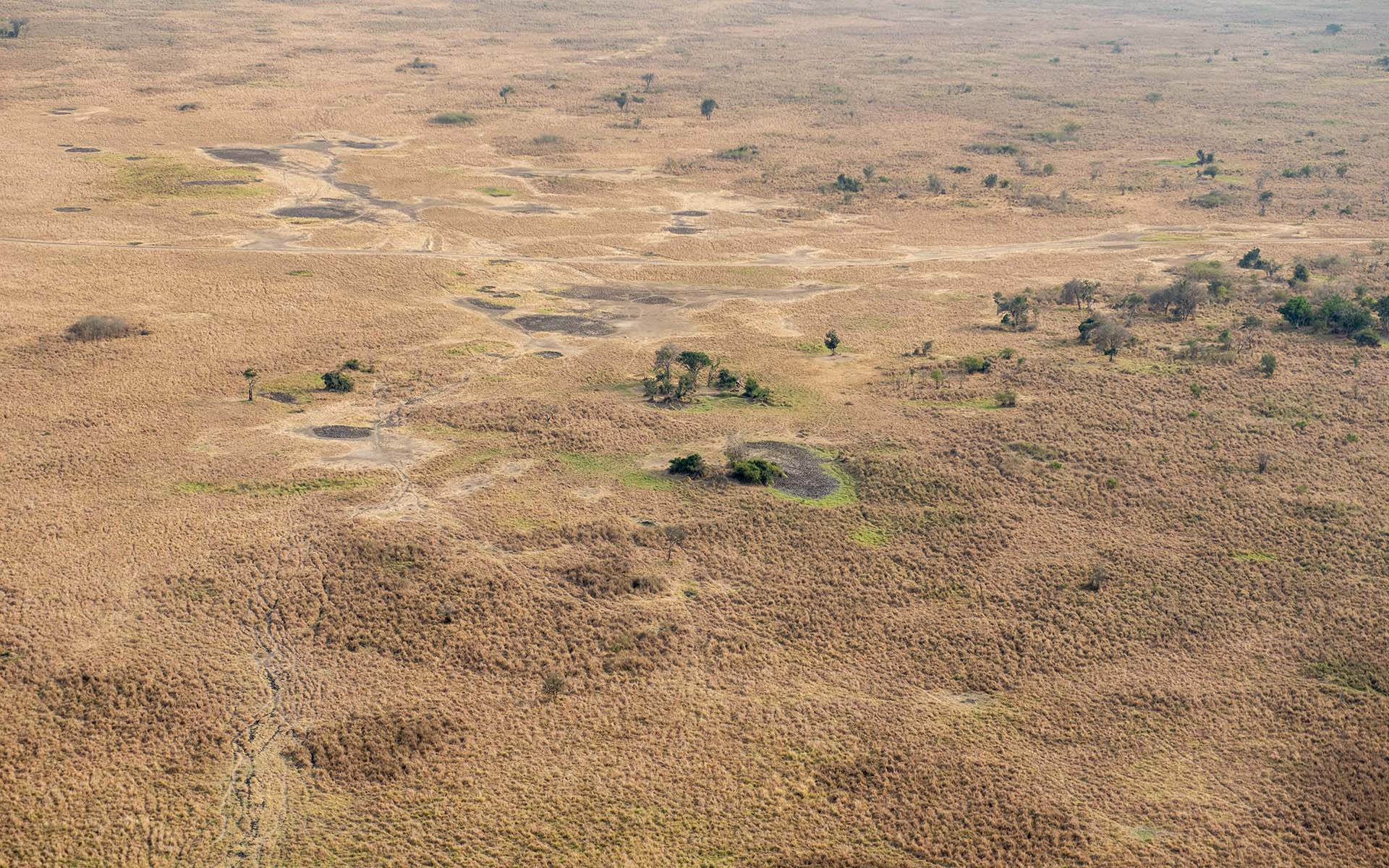
Nyamwashama Plain, unburnt, during dry season.
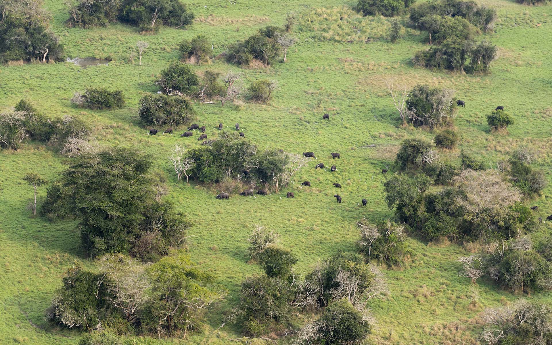
The waterlogged areas of the Nyamwashama plains, often frequented by buffalo.
The northern slopes of Kandalo hills and the Muhororo on the far background.
The hills, bright green in november.
The road to Mutumba, early morning.
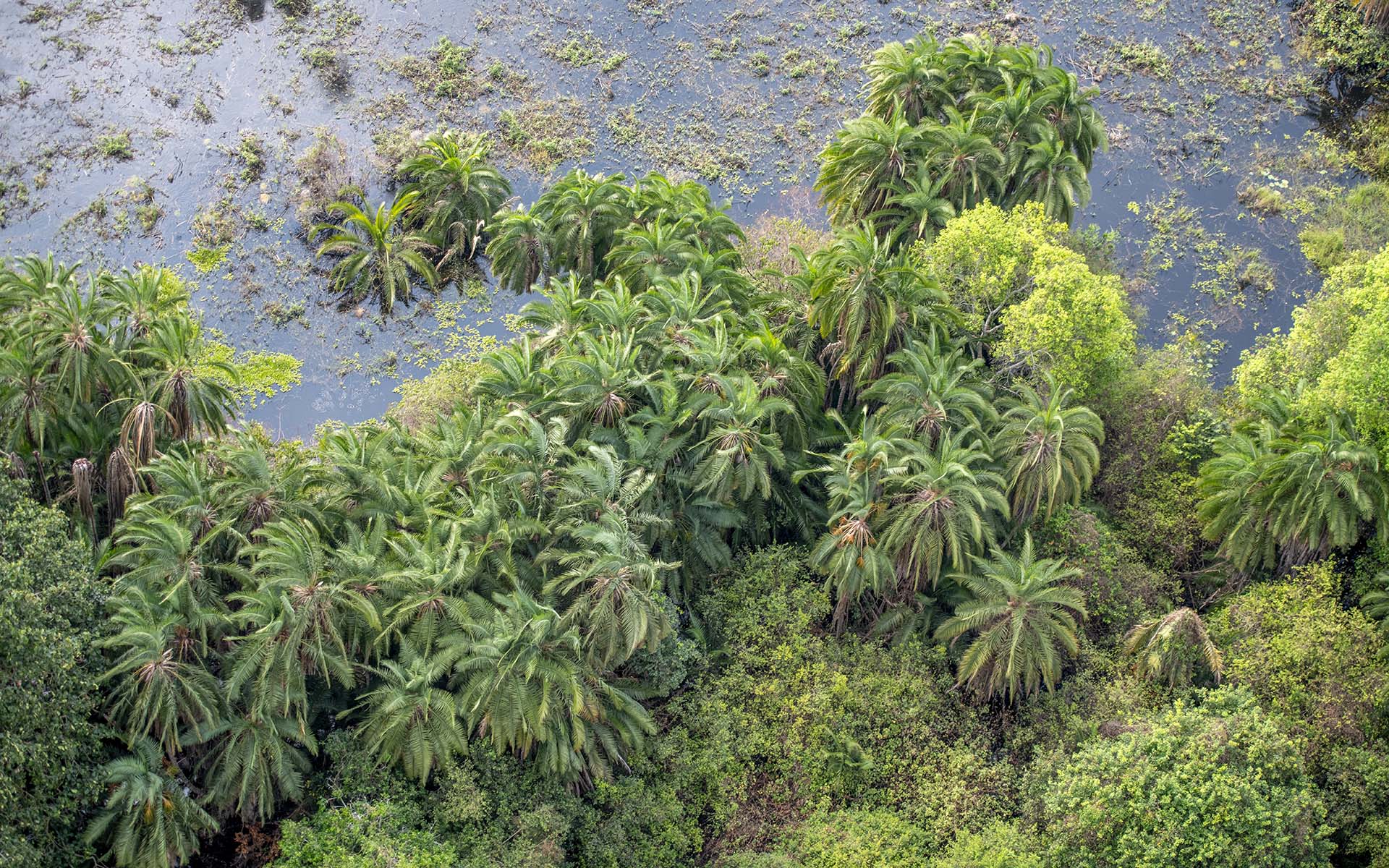
Riverine Phoenix palms on the edges of Birengero Lake
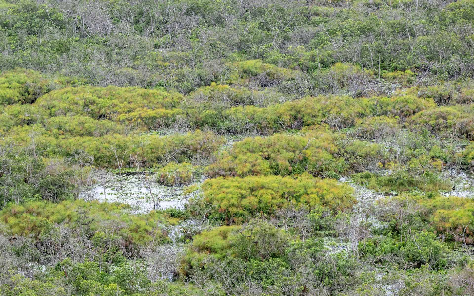
Open papyrus swamp between Birengero and Ihema Lakes
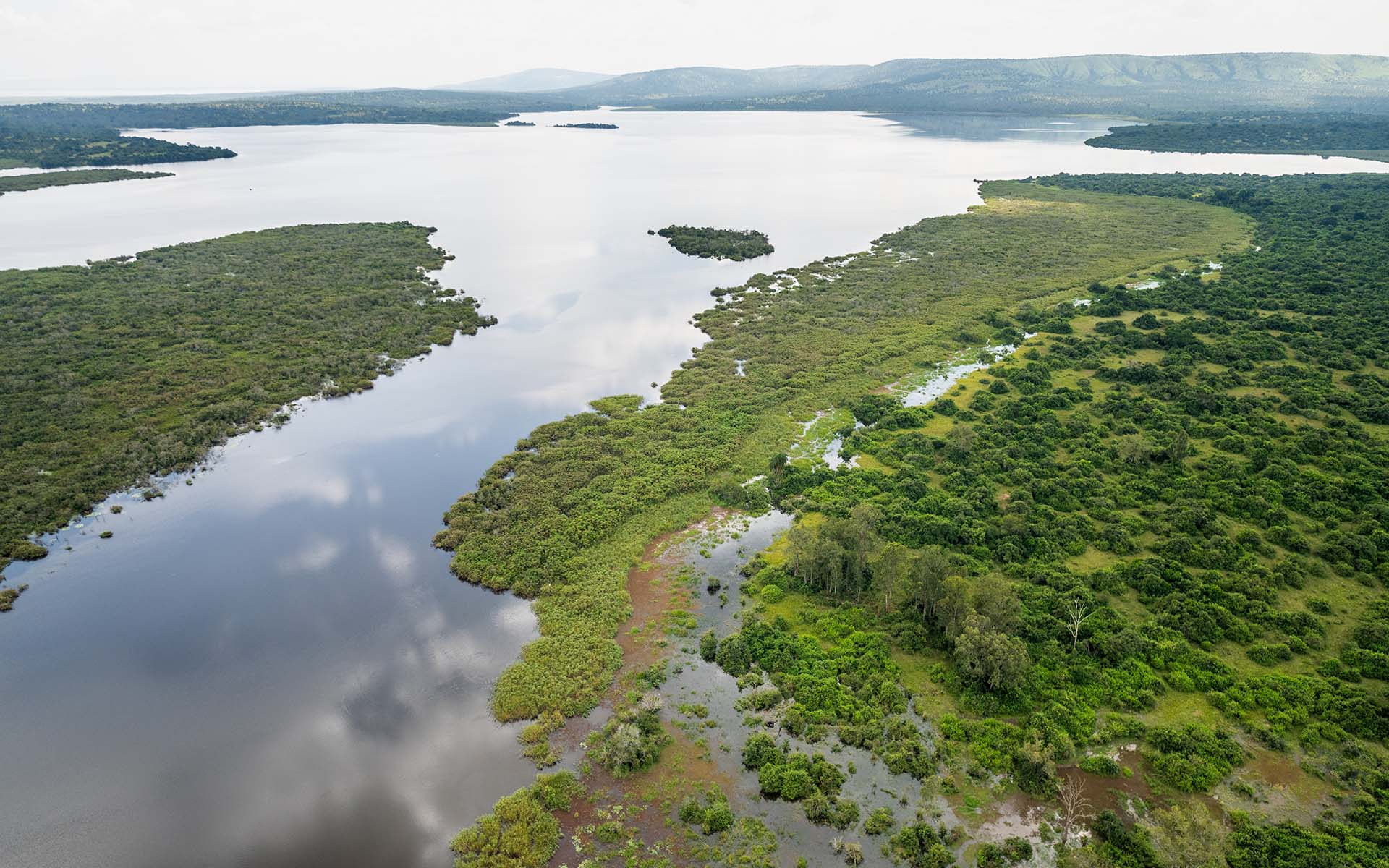
Flooded riverine vegetation on the shores of Birengero.
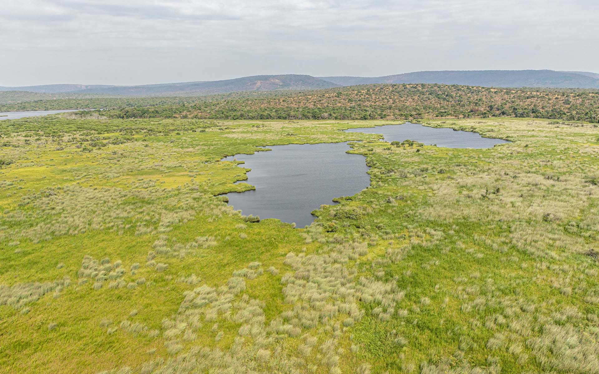
Small lake remnants south of Kageyo peninsula.
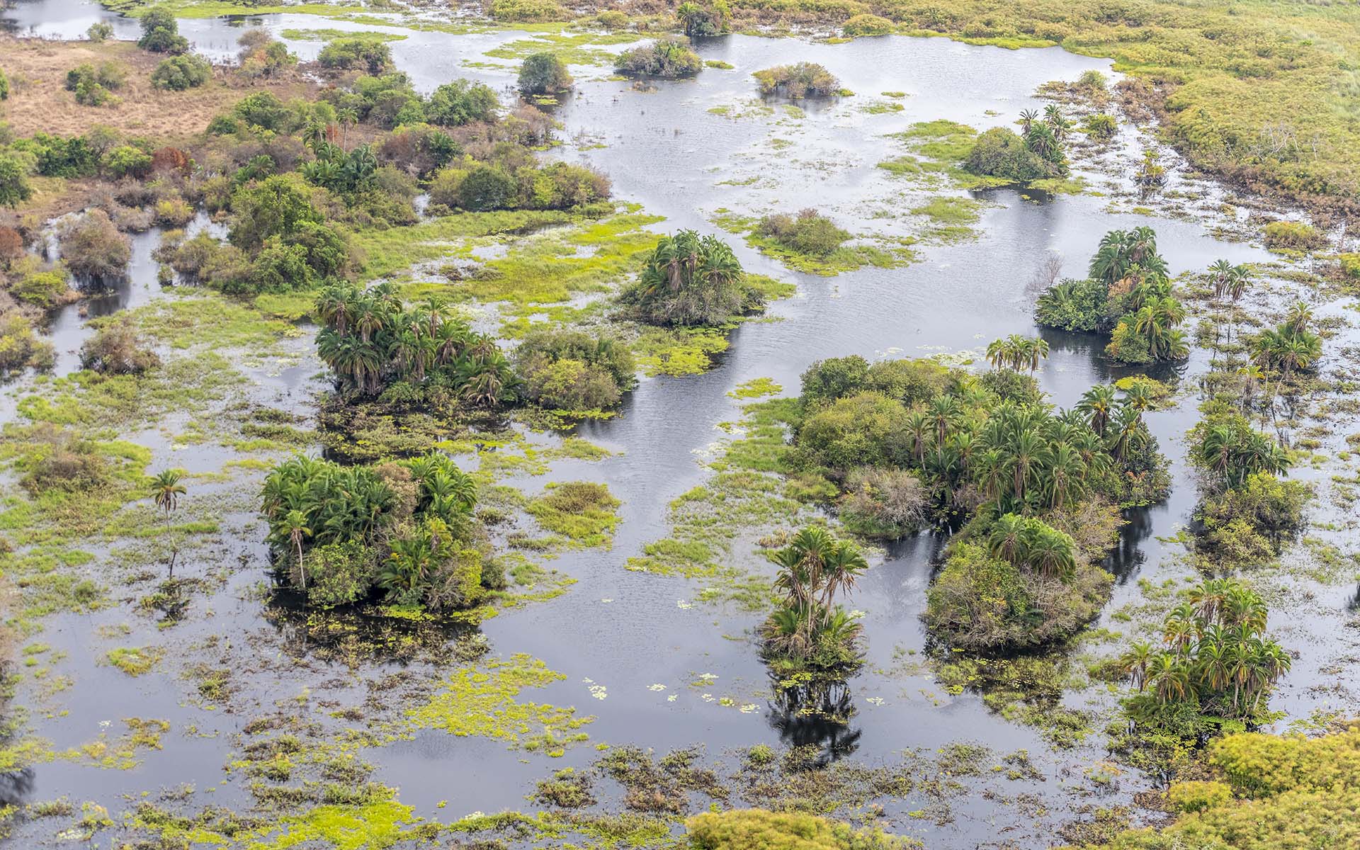
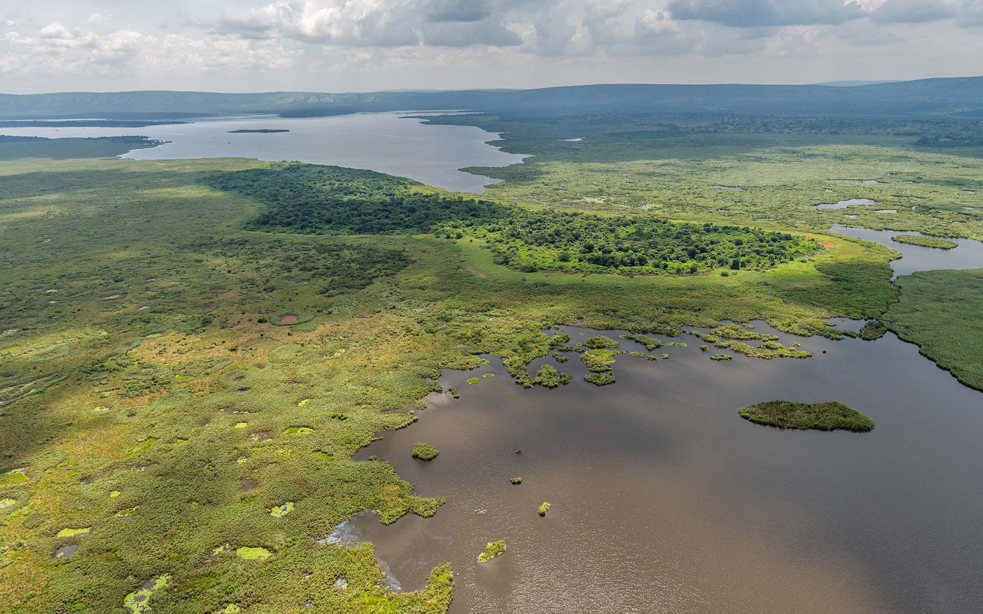
The extensive wetland systems north of Lake Hago
Lake Kivumba during peak rainy season with high waters.
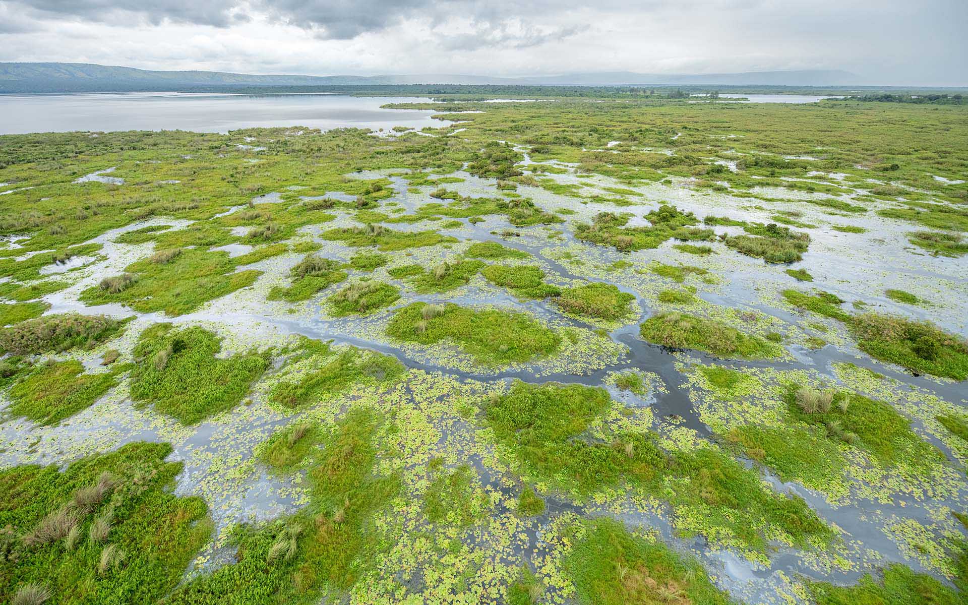
The open wetlands north of Kageyo – Shoebill territory